


Ridgeway Map Booklet
Ridgeway Map Booklet
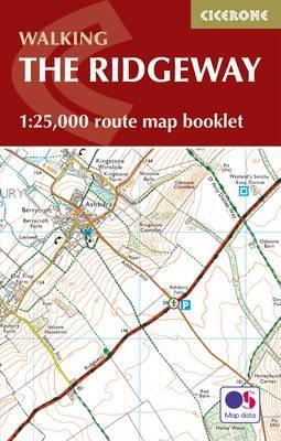
All the mapping you need to walk the Ridgeway National Trail an 87-mile (139km) route through southern England from Avebury in Wiltshire to Ivinghoe Beacon in Buckinghamshire. Following a ridge of chalk hills through the Chiltern Hills AONB and North Wessex Downs AONB, the Ridgeway is usually completed over 6-8 days and can be walked all year round.
NOTE An accompanying Cicerone guidebook - The Ridgeway - describes the full route with lots of other practical information. The Cicerone guidebook INCLUDES a copy of this map booklet.
This booklet of Ordnance Survey 1:25,000 Explorer maps shows the full line of the National Trail, along with the relevant extract from the OS Explorer map legend. It can be used when walking the trail in either direction, and is just the right size for slipping into a jacket pocket or top of a rucksack.
PRP: 57.24 Lei
Acesta este Prețul Recomandat de Producător. Prețul de vânzare al produsului este afișat mai jos.
45.79Lei
45.79Lei
57.24 LeiPrimești 45 puncte

Livrare in 2-4 saptamani
Descrierea produsului
All the mapping you need to walk the Ridgeway National Trail an 87-mile (139km) route through southern England from Avebury in Wiltshire to Ivinghoe Beacon in Buckinghamshire. Following a ridge of chalk hills through the Chiltern Hills AONB and North Wessex Downs AONB, the Ridgeway is usually completed over 6-8 days and can be walked all year round.
NOTE An accompanying Cicerone guidebook - The Ridgeway - describes the full route with lots of other practical information. The Cicerone guidebook INCLUDES a copy of this map booklet.
This booklet of Ordnance Survey 1:25,000 Explorer maps shows the full line of the National Trail, along with the relevant extract from the OS Explorer map legend. It can be used when walking the trail in either direction, and is just the right size for slipping into a jacket pocket or top of a rucksack.
NOTE An accompanying Cicerone guidebook - The Ridgeway - describes the full route with lots of other practical information. The Cicerone guidebook INCLUDES a copy of this map booklet.
This booklet of Ordnance Survey 1:25,000 Explorer maps shows the full line of the National Trail, along with the relevant extract from the OS Explorer map legend. It can be used when walking the trail in either direction, and is just the right size for slipping into a jacket pocket or top of a rucksack.
Detaliile produsului


